
Watershed Planning: Community-Driven Projects That Scale
Local planning efforts drive on-the-ground work. The 2-3-2 Partnership integrates these efforts for landscape-scale impact.
Overview
Collaborative planning leads to collaborative implementation. The best plans are those that get implemented. In the 2-3-2 Partnership, we believe that locally designed projects are essential to achieve landscape-scale goals. However, the number of types of planning documents can be daunting. Different funding sources require different planning documents. Different land management jurisdictions require different planning documents. However, when we work together, we can better integrate across planning efforts, creatively design and implement projects, and have direct conversations about which community groups and partner organizations can bring which resources and skills.
Watershed Restoration Action Plans
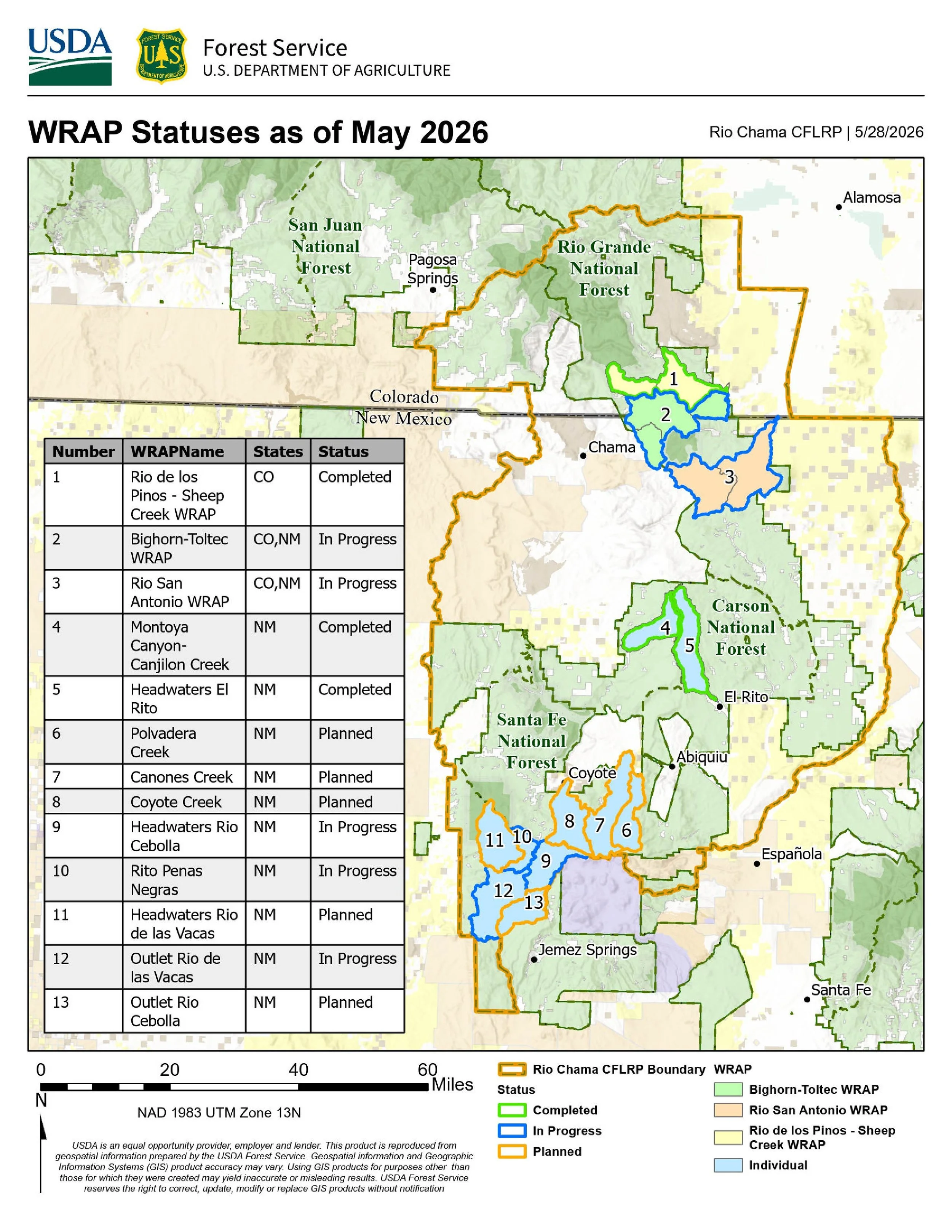
Watershed Restoration Action Plans (WRAPs) are required to receive many forms of federal funding. These plans include a list of projects such as in-stream design structures, road and trail maintenance, forest health improvements, revegetation, and rangeland improvements. They also identify partner organizations to serve as project leads and are used for soliciting funding from various sources.
Execution
The 2-3-2 Partnership and Rio Chama CFLRP have significantly expanded the coordination and development of WRAPs across focal watersheds.
Results
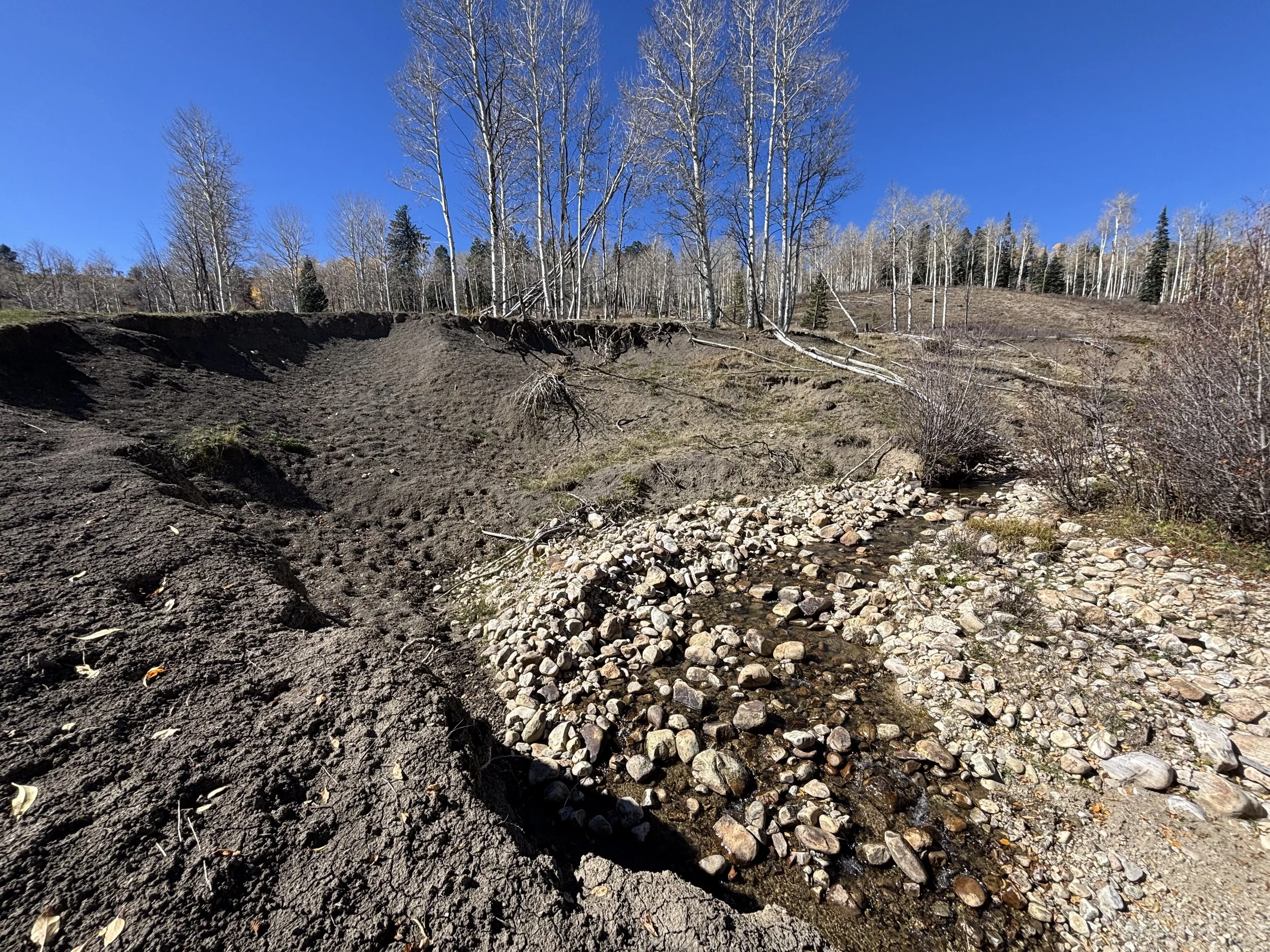
Planning efforts have resulted in prioritized watershed restoration and alignment with other work across the landscape. Results include securing funding for road assessment for El Rito and building partnerships with NGOs, implementers, local and state agencies, and private landowners around the shared goal of restoring watersheds.
Image: Canjilon Creek Streambank
Wildfire Ready Action Plans
Colorado Wildfire Ready Action Plans are a state-level planning effort to directly integrate wildfire preparedness and post-fire impacts into watershed-scale plans. 2-3-2 Partners have successfully been awarded funds to develop these WRAPs in Colorado. Planning will be led by local, place-based collaboratives and contractors and will begin in 2027.
-
Planning will be led by local, place-based collaboratives and contractors beginning in 2027.
-
Coming Soon - Check Back for Updates
Community Wildfire Protection Plans
Community Wildfire Protection Plans (CWPPs) are collaborative planning tools for improved preparedness and risk reduction for the places we live, work, play, and depend on for critical resources such as water and power. Within the 2-3-2 landscape, both Rio Arriba and Archuleta Counties have recently updated their CWPPs.
-
Both Rio Arriba and Archuleta Counties have updated their CWPPs to reflect changes in the natural and urban environments and resulting changes to wildfire risks, values, and locally preferred mitigation strategies.
-
Collective identification of priority actions utilizes expertise from local fire managers, responders, and community members. The primary utility of a CWPP is to enable the funding and implementation of on-the-ground work such as fuels reduction treatments and upgrades to utility infrastructure.
See the Rio Arriba County CWPP here
See the Archuleta County CWPP here
Source Watershed Pre-, During-, and Post-Fire Planning
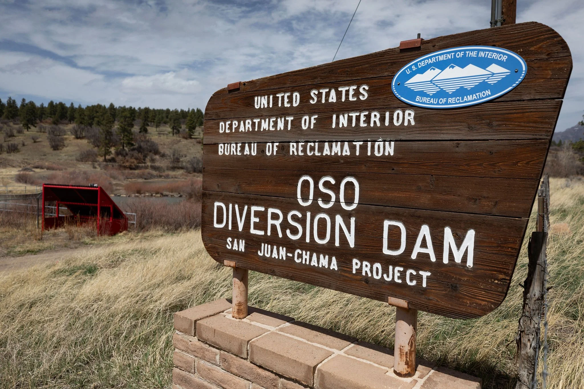
In 2025, the Bureau of Reclamation contracted The Nature Conservancy to develop a comprehensive wildfire preparedness and response strategy for the San Juan-Chama Project headwaters. The planning effort is informed by a 2025 Quantitative Wildfire Risk Assessment that identified key vulnerabilities, values at risk, and opportunities for coordinated action.
Execution
The plan is organized around three chapters:
Pre-Fire Risk Mitigation — reducing the likelihood, intensity, and impacts of wildfire through proactive forest, watershed, and fuels management.
Immediate Fire Response — led by the Forest Stewards Guild, evaluating existing wildfire response frameworks and improving firefighter preparedness and coordination.
Post-Fire Rehabilitation — actions to reduce flooding, erosion, sedimentation, and debris flows while supporting watershed recovery and long-term resilience.
Results
This planning effort represents the culmination of several years of collaboration among more than 50 individuals and over 20 partner organizations. Outcomes include identification of priority forest and riparian treatment areas, improved mapping of wildfire risk, refinement of Potential Operational Delineations, and increased momentum for cross-boundary restoration projects throughout the region.